Showing posts with label Grand Canyon. Show all posts

Tuesday, August 9, 2011

The Grand Canyon, and pushing envelopes

We are back from our trip, and while it was fun, it is always good to get back home.   It was a banner day for reference photos of clouds and skies along the highways and interstate drive to Phoenix on Thursday, with the monsoon season providing the most unbelievable array of clouds that I've ever seen.  Most of the 500+ photos I took on the trip are of that drive.

Another treat was a side trip to the Grand Canyon on Sunday.  It's been almost a year since I've been there, and even longer - almost 5 years - since I've hiked down into it.

Coronado Butte from the New Hance Trail
6x8 inches - pastel on Strathmore

Since developing a near obsession for painting outdoors this year, I've been continually thinking of new ways to bring my painting operation to more difficult reaches where I used to rely only on photography.  And while I'll never leave my camera behind, I've now discovered that I can indeed paint on location in rugged and remote locations.  It's exhilarating.  

Enter the New Hance trail on the south rim of the Grand Canyon.  Most visitors to the Canyon will never know of its existence, let alone hike it (it is not even listed on the official GC NPS site).  This is a good thing, as it is arguably one of the most difficult of the named trails within the park - an unforgivingly steep, narrow  and unmaintained trail that would (or should) turn back all but experienced Canyon hikers within the first 1/3 mile.  I've hiked and backpacked just about every named trail (and a few routes) in the park, and I can firmly attest to its rough nature and reputation.

What trail?  
The upper section crosses large slabs of broken Toroweap formation and Coconino sandstone

But, it also gives unique and unparalleled views and for geology geeks like myself, it offers up unique features found no where else in the Canyon.  Wayne has never been down it, and I realized it has been a whopping 7 years since I was last on it during a backpacking trip.   Figuring (correctly) that we'd likely not see anyone else, it was the easy choice to experience the spiritual nature of the Canyon and avoid the noisy and often annoying tourist crowds that are omnipresent at this time of the year.

A view of Sinking Ship butte to the west along the trail; this is also visible 
from the South Rim drive on the eastern part of the park

Back when I used to hike the Canyon regularly, I generally avoided it during the summer.  It is a hot, dry desert and only three trails (Bright Angel, Hermit and the North Kaibab on the north rim) have any reliable water.  Even on the rim, temperatures were in the mid-80's, and they just get higher the further down you go.  Summer hiking is unpleasant at best and potentially deadly at worst.  

Looking up to the south rim from the trail, about 1000' down.  The trail is out of sight to the left, and follows breaks in the sandstone cliffs [2-part vertical pano]

Because of this, we planned a descent of no more than 1,500' or 3 miles one way - whichever came first, and at the earliest shaded spot with a good view.  In this case, the vertical limit was reached in about 1.5 miles, which luckily coincided with both a shaded location under a large pinyon tree and provided this view to the north.   The trail continues for another 6.5 miles, eventually dropping down into the aptly named Red Canyon before finally reaching the Colorado River.  It amazes me to think that 10 years ago, I did this trail - from rim to river and back - as a day hike.  

The early afternoon view from our approximate stopping location

Despite the wonderful panoramic view of the Canyon here, it's a bit overwhelming to paint, particularly with the limitations of my plein air palette.  Light and shadow aren't ideal anyway and it's just a really busy scene to try and distill to a small field sketch.  Even though I brought my painting gear along (stadium chair, pastel box, tape, gloves, a piece of foamboard and several sheets of 4x6 and 6x8 inch Strathmore paper), I would have been happy to just hang out and not paint - which I have done on most of the trips I've brought it along on a hike - I just like having the option.  

After hanging out for about 30 min, I finally decided on a subject to try and paint:  adjacent Coronado Butte.  It forms the left side of Red Canyon, and the unique perspective from below gave plenty in the way of light and shadow.  The reddish-gray sandstones and limestones of these Permian-era rocks are similar in color, but are broken up by grass and juniper-covered slopes and differences in orientation of the layers (vertical jointing vs. horizontal layering and erosional patterns).  

Every time I paint on location, I can feel my observational eye developing.  I know I sound like a broken record with the chorus of artists and instructors who say the same (and am preaching to the choir for everyone else), but it is impossible to stress the value and importance of location/life painting enough.  Even if the paintings aren't successes in themselves, it doesn't matter - it's about the process, and training the eye to see.  

A badly cobbled pano shot of the approximate view I painted from
Seriously?  Aside from the physical shapes, it looked nothing like this in life, and not 
super interesting to paint unless you were there

On hikes, I tend to stick with my 55-200mm tele zoom lens on my camera, since I'm: 1) usually out during the least desirable lighting conditions for decent landscape photos; 2) wildlife, wildflowers and invertebrates are favorite subjects to shoot on hikes, and best done with a tele lens, like this attractive and elusive Canyonland Saytr butterfly that I had a helluva time getting a photo of:


So, almost all these wide views are panos, and shot with the intent to use as possible reference photos and journaling the hike rather than good photos taken for their own sake.  

Nonetheless, the photos do a good job of telling the story and also showing how remarkable the shifting light is in the Canyon, and how it can go from "blah":

single shot looking west @ 2:12 pm 

To "cool!" in just a few hours (note the smoke from a north rim managed fire to the far right):

5-part vertical pano in same orientation @ 6:02 pm

One of the unavoidable facts of hiking the Grand Canyon is that what goes down must come back up, and it's never easy to have the hardest part be at the end.  So, after kicking back for a few hours, we gathered up and headed up and out.  The Canyon has much to teach us, including how much about hiking it is mental.  Go down 3,500' below the rim, look up, and you'll know instantly what I'm talking about.  

the "easy" part of the trail by the creek drainage
It also teaches patience, perseverance and to appreciate and respect what we are capable of - which is much like the process of painting.   Like the process of creating art, it humbles and challenges us by exposing our limitations and weaknesses - showing us what we need to work on to improve, so that each experience gets a bit easier and more learned.  But, just as we know as artists, it never gets easy, which would be boring, and that's always been part of the appeal to me.  

only another 1,100' to climb, Wayne!


 Sun silhouetted ponderosa pine


Wind-sculpted juniper along the upper section of the trail

 Erosion forms abstract patterns along a sandstone overhang


A view to the north rim - 6:02 p.m, not far from the trailhead

So, this post really isn't so much about the small field painting as it is about musing about the process and the experience, and the path we take to betterment and pushing our personal envelopes.  That being said, I love the painting for what it represents in this regard.  I hope that it is just the first of many I am able to do from the depths of this most beloved and special place.  
-----
Readers and fellow artists:  please feel free to share any similar experiences you've had with experiences that helped shape and push your personal envelopes - I'd love to hear about them.  And I appreciate those of you who read and maybe even enjoy these longer posts.  Tomorrow's post will be much shorter - I promise!


Monday, November 15, 2010

Plateau Shadows - FC & Colorado Plateau Road-trip series

I didn't give much thought to the title of this series of paintings when I began it about 6 weeks ago, sticking to a purely descriptive term of the geographical location and region the paintings encompass - Four Corners and the Colorado Plateau.  Technically speaking, Four Corners only extends as far west as Kayenta, so we left that a while back, but I wanted to maintain some consistency in the titles.   I just hope it isn't confusing or misleading for anyone not familiar with the region.

The bottom line is that this is all about the Road Trip.  I've always loved road trips, probably because we took them when I was growing up, often in the form of extended car camping trips.  I would guess many readers have similar experiences and can relate to the delights of the changing scenery and sense of adventure that go with auto travel.

We are now on the final section of our drive:  the Kaibab Plateau.   At the small establishment of Jacob Lake, we take Hwy 67 south towards the north rim of the Grand Canyon.  After beginning in a ponderosa pine forest, the road continues to rise and eventually opens up to a broad meadow that now has aspen and some spruce.  At the time of the trip, the grasses were in their mature summer greens with hints of yellow and rosy-browns.  Clouds distal near Vermilion Cliffs are now directly overhead, casting shadows on large sections of the forest and meadow.

Hwy 67 travels about 45 miles due south before terminating at the North Rim Lodge.  Multiple FS roads lead off of the highway to head for destinations more remote, and the occasional FS or NPS cabin is seen; I decided to keep  them in this painting, in fact.  Their small size gives a sense of how large this meadow is.

Plateau Shadows 
9x12 
oil on canvas 

This was done in a single session, and I limited the palette to ultramarine blue, sap green, cadmiums red deep, orange and yellow medium and titanium white.  I found that adding just a touch of sap green (warm) to the UB (cool) was just perfect to take that intense edge off without resulting in a turquoise sky.  

Another important change/discovery I made for this painting was trying a different brush.  I'm not sure why it took me so long to figure out that the brushes could be part of the problem for laying down paint in the manner I wanted, but it did.  The brushes I was using were primarily flats and filberts in various sizes, but the problem is that the bristles are very stiff...too stiff for any type of thick paint application, in fact.   So, on a whim, I pulled out some older flat of softer nylon bristles and noticed a 100% improvement.  

Nice to have those ah-ha moments from time to time - it helps validate the whole process a bit when things are learned.  The result is that I really like how this painting turned out.  I seldom enjoyed painting with greens in pastels, probably because I never seemed to have the right colors I needed [and green isn't my favorite color, either].  But, this was different.  Easy.  Fun.  

Next up:  the destination view.  I'm off to go work some more on it and hopefully will have it finished by tomorrow.

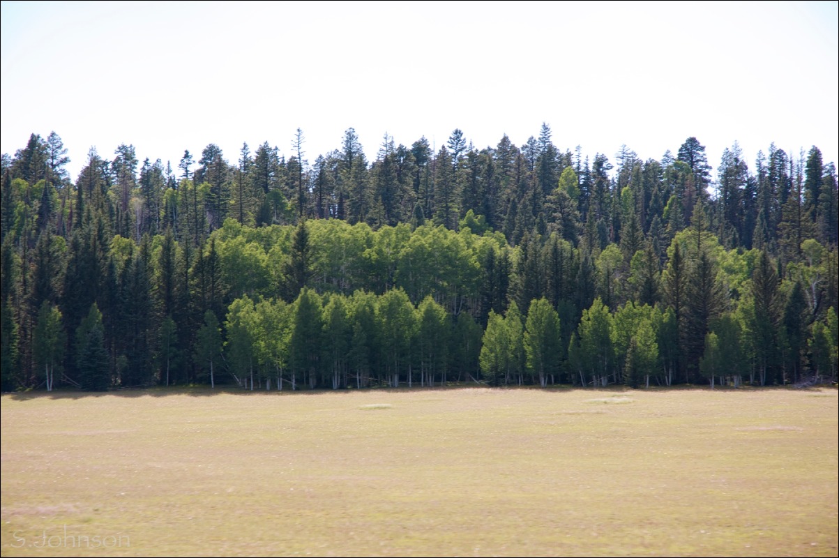
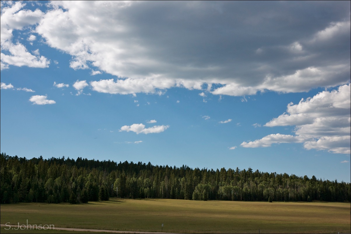
In the meantime, because I found it difficult to narrow down to just one photo of this meadow, here are a few others taken along Hwy 67.  I may revisit some at a later date for paintings.  

Big sky country
Not just for those in Montana

Dramatic lighting
No boring greens or shapes in this forest.

Front row seats
Ignoring the blown-out sky, the stand of bright green aspen really catch the afternoon light in the predominately coniferous forest.


Sunday, November 14, 2010

Plateau, Rising #1 & 2 - FC & CP series

My sister was in town visiting for the past 4 days, so my time in the studio and online was limited.   Definitely no time for any blog updates, so now I'm trying to catch up a bit.

For #31, I decided to do both an oil and pastel painting, just to experiment with different media and see how they handled.  The views are slightly different for each and the emphasis is therefore different as well.   At this point in the trip, we are leaving the Paria Plateau and the Vermilion cliffs behind as we head west and begin the 4000' climb up the east Kaibab monocline which forms the Kaibab Plateau and the north rim of the Grand Canyon.

As the highway ascends the monocline, the abrupt geological change is striking:  the Triassic Vermilion cliffs terminate and are separated from the beginning of the Permian period Kaibab limestone, forming the top layer of the monocline (and the Grand Canyon), by the surficial deposits in the House Rock Valley.

Plateau, Rising - #1
9x12  
oil on canvas

For this painting, a small section of the highway is seen below, emphasizing the rapid rise up the monocline.  Pinyon and juniper start to return.  This was a 2-staged painting, and I had fun using the 3 tubed greens in the palette to produce the range of warm and cool greens that make up the vegetation of this desert landscape.

Plateau, Rising - #2
12x18 
pastel on Strathmore 500-series paper

The emphasis for this piece is the foreground with the trees helping define the contour of the land and providing a sense of scale.  

I decided this piece would benefit from a detailed (for me) drawing to establish values and precise tree locations using a white Conte pastel pencil and charcoal pencil.  It was surprisingly fast and easy to copy the positions of pretty much every tree in the reference photo.  


Which painting is more successful?  I personally feel the pastel version is, for a variety of reasons.

Number #32 was also completed this evening, in a single session.  I will post it tomorrow, and am deciding if I want to do a pastel variation as well.  


Friday, September 10, 2010

Labor Day trip to north rim of GCNP- Part II: the Canyon

The north rim of the Grand Canyon differs from the south rim in several ways.  For one thing, only about 10% of the visitors to GCNP go to the north rim,  making it much less congested.  The elevation is also about 1000' higher than the south rim, resulting in views that allow one to almost look down upon the distal horizon.  The reason for this is the series of faults and the east Kaibab monocline that produced the Canyon:  the earth rose and the water cut a channel through the sedimentary layers along the fault line.  Side canyons formed as water found its way to lower points, causing more rapid erosion.  There probably remains some debate amongst geologists, but I believe it is generally accepted that the Canyon itself is about 5-6 million years in age.   It averages 10 miles across,  a mile deep, and is 277 miles in length.  The rocks that form it span in age from 245-1700 million years [1.7 billion].    Simply put, the magnitude and scope make it hard not to be impressed.

We arrived at Timp Pt. around 5:30, AZ time, on Friday afternoon.  Monsoon season was either over or was on a brief hiatus, so there were no concerns about rain.  In fact, it was a cloudless day for most of the drive, which is always less than optimal when hoping to get some great photos.   However, clouds had appeared to the west as we drove, and some lingered over the canyon itself that evening.

We secured a campsite, but after taking a walk down the road, discovered that the next site over actually had a better view (a plus for me, as I had planned to paint, and wasn't keen on hauling my pastels and easel out 1/2 mile to the other vista we found).  So, we relocated our gear, just as the sun was setting.

Sunset at Timp Pt.

This was the view about 20' from our campsite.   The view is to the south and slightly west.  Not a high-drama sunset that can often be seen at the south rim due to the direction of the light, but this instills a sense of calm, I think.  There was a lot of haze in the Canyon, either from Las Vegas or dust particulates from the dry air and wind.


Mid-morning light
Because of the haze and lack of clouds, I didn't end up taking that many photos, or at least with the intent that they turn out "photo-worthy".    But,  you can't come to the Grand Canyon and not take at least some photos to remember the stay, so here is one.

The western edge of Powell Plateau is seen to the left, connected by a saddle to Steamboat Mtn.  The Colorado river is on the distal side, running between the sets of reddish cliff sets.  The Havasupi reservation is on the south rim.

Saturday was "do your own thing" day; Wayne went on a hike along the Rainbow Rim trail, Dave and Eva took their mountain bikes along the same trail, and I attempted to paint.  I had earlier cased out the prime location for setting up an easel, and thought I'd be able to do at least a few paintings.  But, it ended up being quite hot, and instead of setting up the easel in the sun, I pulled a chair over and painted in the shade.  Because it was so difficult for me to narrow down a composition sitting there, I ended up using a photo and sketching the basic shapes in from the thumbnail view, and then working from the view.

The painting isn't posted because it got pretty significantly smeared when it was taken out of the car after we got back.  I may try to fix it, but haven't had the desire to thus far.  It suffered from the limitations of my pastel palette, although as with the previous plein air paintings, it was a valuable process nonetheless.

On Sunday, our group decided to go hike along a different portion of the Rainbow Rim trail.  This trail, which starts at Timp Pt. and ends at Parissawampitts Pt., is 18 miles in length, one way.  It's a multi-use single track trail open to any non-motorized form of transportation.  It follows the contour of the rim, much of which requires long cut-backs through the forest in order to cross the drainages to the side canyons before they become impassable cliffs...

We drove out to North Timp Pt., and before we knew it, we'd decided to go all the way to Locust Pt., 6.5 miles away.  None of us were planning such an ambitious hike, but given that the trail was essentially level with minor changes in elevation, and in shade much of the way, it didn't take on Death March proportions.

View approaching Locust Pt.


We had to hike 6 miles through the forest before the rim came into view again.  N. Timp Pt. is immediately to the left.  Steamboat Mtn. is above it to the left.
The gray-white cliff formation is Coconino sandstone, which overlays the dark red Hermit formation.  In this part of the canyon, the Hermit is frequently covered with vegetation.

Eva, Dave and Wayne at Locust Pt.
Everyone is happy that we made it and can now turn around and hike the 6.5 miles back to the car.  North Timp Pt, and the location of our car, is right above Eva's right shoulder.

It's easy to underestimate distances and scale in the Canyon; it is probably less than a mile as the crow flies, but impossible to get to without a hike of several miles.


The hike back:  Ponderosas and a view
I opted to take photos of the trail on the way back.  Better lighting and a more leisurely pace.

This is looking back towards Locust Pt., showing the hint of the rim ahead, and the beautiful ponderosa pines.


Through the aspens...

This is heading back to N. Timp.  We are still on the north side of the drainage heading east, well before cutting back across the draw.  The trail heads through this lovely stand of aspen before dropping down on its approach towards the cutback part of the trail.


...and a grassy meadow
After the trail drops down from the N. Timp Pt. ridge, it enters the draw - a beautiful grassy meadow with aspen, fir and pine.


After another ~3 1/2 miles or so, we are back at N. Timp Pt.  Dave and Eva had powered through the hike without stopping, having been a bit low on water.  It was after 4 p.m., and the light was turning the Canyon into a series of silhouetted shapes, ever fading as they disappeared into the western horizon.


N. Timp Pt. pano

What is car camping with friends all about?  Hikes like these, sitting around a campfire each night after a hot meal, and of course, drinking beer.  No one came unprepared, and especially after a 13 mile hike, cold beer sounded like an excellent idea.    Here is the informal "beer tree" or "beer shrine" that was going at the campsite.  It looks rather white trash until you realize there is no Coors,  Old Milwaukee, or Budweiser, or cans - just Ska microbrews and some Sam Adams and Full Sail Pale Ale:  the Good Stuff.  The spontaneous placement of the bottles in this common location appealed to our artistic aesthetics (and sense of humor), so it had to be captured on digital film before the bottles were collected prior to our departure.  


Sunrise at Timp Pt.


Due in part to both early morning insomnia and my motivation to actually get up and out of the tent for the 1/2 mile walk down a spur trail off of the Rainbow Rim trail to the actual Timp Pt, I did manage some sunrise photos.

There is something special about sitting on the rim of the Canyon before sunrise and watching as those first rays hit the far edges of the rim and then sweep across the depths, casting shadows here and there on the buttes and canyons.  It was quiet, save for some small birds that were diving and cavorting through the otherwise still air.   As much as I'd like to be, I'm not much of a morning person.  So, being able to actually get up and watch the sunrise (around 5:45 a.m.) was a treat.  Dave, an accomplished photographer, had gotten up the morning before to shoot sunrise photos, so that also helped motivate me to get up.

Light across points and plateaus
In this telephoto view to the southeast, Stina Pt. remains in shadow, while the upper sandstone cliffs of Powell Plateau receive early morning light.  A small, distal triangle of the south rim falls between. The elevation drop between north rim (of which Powell Plateau is part of) and the south rim is evident in this photo.


So, after a wonderful weekend enjoying the tranquil beauty of the north rim with friends, we packed up and headed home on Monday morning.

Hmm...just realized it is Friday already!  Sky Friday posts to resume next week.

Wednesday, September 8, 2010

Labor Day trip to north rim of GCNP- Part I: getting there

One of the most joyous things about returning back in the southwest is once again being close to the canyon country of the Colorado Plateau.  I love the mountains of the San Juans here in Durango, but the canyons and landscape of northern AZ and southern Utah are truly where my heart and soul belong.   To my eye, it is the most beautiful and fascinating landscape in this country, if not the world.  The earth's skin is exposed, not covered by endless forests or oceans or pavement or malls, and able to be experienced in all its glory.

Rock layers formed over hundreds of millions of years from shallow seas, mudflats, and sweeping sand dunes, long before mammals (let alone humans) were even a blip on the evolutionary map.  After they were formed, time, water, wind and plate tectonics worked to carve and sculpt the most amazing forms out of the earth.  And, wherever you go within the geologic province known as the Colorado Plateau, there will always be something different and uniquely beautiful to see.

During the eight years I lived in Flagstaff and Prescott, I made countless trips to my favorite destination:  the Grand Canyon.  I hiked, ran and backpacked along the many trails and routes found within its depths, and never once did the novelty wear off; in fact, the more I was there, the more I *wanted* to return and immerse myself within it.   It remains, and will always remain my favorite place on this earth to be.   During the time I lived in CT, I was terribly homesick for this landscape.

So, when Flagstaff friends Dave and Eva sent out an Evite for a Labor Day car camping trip to the north rim of the Grand Canyon, it didn't take long for Wayne and I to agree come!

The drive from Durango to the Grand Canyon is without a doubt one of my all time favorites.   It's what road trips are all about.   For closet geologists like myself, it's a never-ending, always changing wonder of the earth's beauty.  It goes through a good portion of the Navajo Nation as well, which means never worrying about large, ugly tracts of cities or suburbia or, for that matter, much human influence at all.  Most of the ugly is confined to the perfunctory HUD prefab junk homes or run-down single-wide trailers so 'graciously' provided to the Navajo by the "ever-so-generous" federal government, in small, scattered pockets throughout the reservation.  An occasional hogan made from local materials is a comforting reminder that not all native culture has been completely squeezed out of the area.

I have decided to spit this into two separate blog posts.  I took over 400 photos during the trip, most of the drive itself, because it was just amazing.  So, it needs its own post, as does the Canyon.  I hope you enjoy the trip through this photo essay, and perhaps can understand why I love this country so much.

Church Rock and Comb Ridge pano
Church Rock is one of the many volcanic necks, or diatremes, in the area.  These form when lava and gases erupt through a weak point in the earth's crust.  Shiprock, in northern NM,  is another, larger example.  Comb Ridge is an example of a monocline, or one-sided tilted fold, in the earth.  Click on the photo to see the uplifted rock of Comb Ridge, formed from Jurassic period Navajo sandstone.  It looks small in the photo, but each of those notched uplifts of rock are probably over 200 feet high.

These unusually eroded forms of Entrada sandstone are known as the "Baby Rocks", and are at the base of Baby Rocks Mesa, on the south side of Hwy 160.  This photo was actually taken on the way home when I could shoot through an open window.
Whimsical formations like these, found commonly throughout the CP region, are also generically known as "hoodoos". 


Hwy 160 towards Kayenta.   Black Mesa, seen to the left, is formed of Cretaceous period deposits, ranging from sandstone to shale and the flammable rock known as coal.  To the right, Organ rock monocline, is visible as large pink arcs of rock.  The town of Kayenta is to the right and barely visible.  Monument Valley is also to the right, approximately 22 miles to the north.


Close-up of Organ Rock monocline
.  Composed of Navajo sandstone, as it abuts the Shonto platform to the north.  Navajo sandstone is the principal rock that forms the dramatic cliffs present in Glen Canyon/Lake Powell.  It is also prone to forming natural arches, and suggestions of arch formation can even be seen in this photo.
Painted Desert along Hwy 89.  
Ten miles past Tuba City, Hwy 160 terminates into Hwy 89.  We are now headed north, and this view is to the east.     These colorful rocks, known as the Chinle formation, formed from Triassic-period mudstones deposited over 200 million years ago, and are what make up the Painted Desert region of northern AZ.  The rock is soft and easily eroded; often, a small harder cap of rock is all that keeps it from eroding into the surrounding alluvial deposits.
                                                                                       
Echo Cliffs along Hwy 89.  The Echo Cliff monocline is to the east side of the highway, running over 30 miles and across the UT border.  It is formed from the Glen Canyon group of Navajo sandstone (top layer), Kayenta formation and Wingate sandstone.    These cliffs apparently got their name from a member of the second Powell expedition, after hearing his voice echo after.  Marble Canyon and the Colorado River are to the left/west a few miles.  


Vermillion Cliffs towards Marble Canyon.  This is the view right before the road drops and heads over the bridge crossing the Colorado river and near Lee's Ferry.  Lee's Ferry is named after a Mormon, John D. Lee, who was made a scapegoat for the infamous Mountain Meadow Massacre, where almost 150 settlers headed from Missouri to CA were killed by Mormon zealots under the leadership of Brigham Young.  It is now a popular fishing area and put-in location for all boat trips through the Grand Canyon.


 Monocline meets Plateau.  More enigmatic geology.  To the right, we have the Vermillion Cliffs, which form the southern border of the Paria plateau, made of up of Chinle and Moenkopi formations (both Triassic).  To the left is the beginning of the East Kaibab Monocline.  Its surface rock is Kaibab limestone (or formation), a Permian-period rock of 245 million years.  This is the rock you stand on at the edge of the Grand Canyon.  All the younger Triassic rock, deposited over millions of years, has eroded away.  How?  Why?  Now, a small rift valley separates the two, filled with alluvial deposits of rock, old and new.


 On the Kaibab Plateau.  After leaving House Rock Valley (shown above), Hwy 89 winds up the monocline through pinon-juniper to Ponderosa pine on top of what now becomes the Kaibab Plateau.  At Jacob Lake, Hwy 67 now heads due south and towards the rim.  It continues to climb in elevation, and soon the predominate trees become aspen, fir and spruce.  The road soon opens into a long meadow.  Unlike the east coast, where essentially all meadows and fields are man-made, these meadows are natural.  Filled with grasses, wildflowers and occasional outcroppings of rock, they add to the scenic drive towards the rim.


Along FSR 22.   This shot was actually taken the morning we left, but I include it here as it shows the roads taken to arrive at our final destination on the north rim:  Timp Point.

Aspen and ponderosa pine make up most of the forest along the FS roads, as shown in this photo.    On the north rim, many locations at the rim itself are on FS land vs. NPS.  Camping is at-large and there are no fees to camp (but no facilities, either).  It also means no crowds...and that is one of the things that makes the north rim so special.

Next post:  Three days at the north rim.


Related Posts Plugin for WordPress, Blogger...